Kal-Haven Trail Sesquicentennial State Park • 51 Bailey Avenue
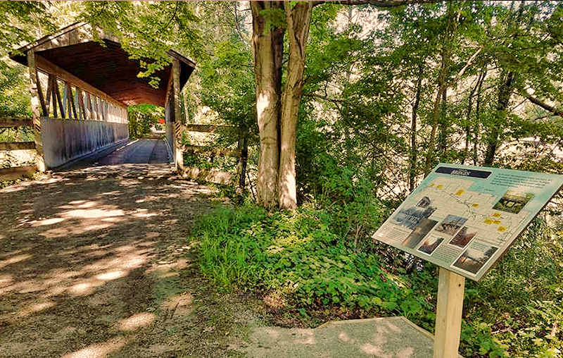
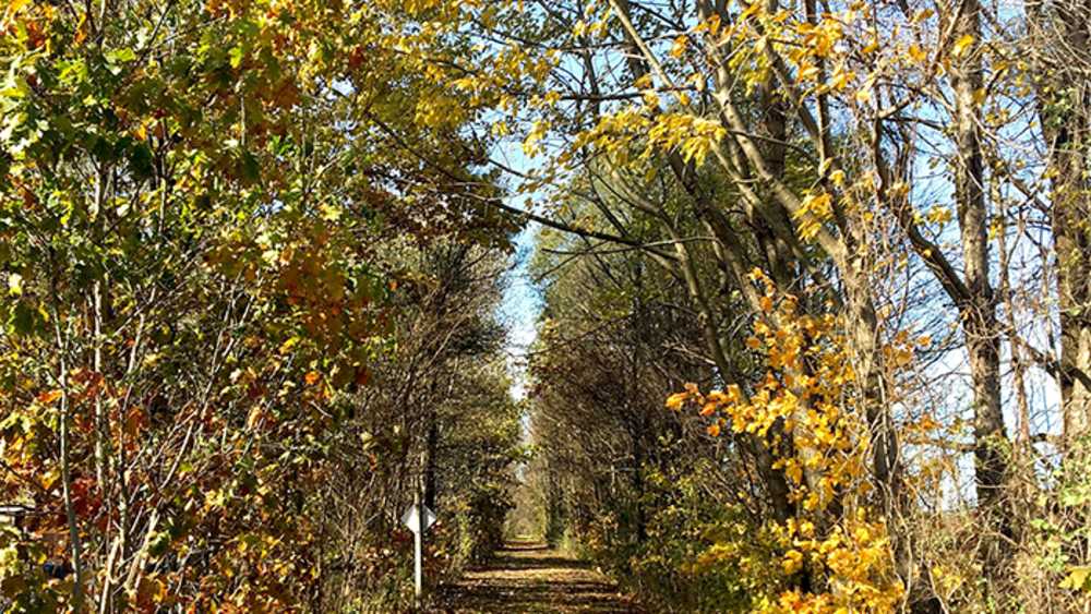
This is a 33-mile former railroad bed with a limestone/slag surface. Linking the city of South Haven to the city of Kalamazoo, the trail crosses over bridges, passes through small towns, and goes by points of historical interest. The first 3/4 of a mile in South Haven runs along the scenic Black River, then crosses the covered wooden bridge, and heads off into the woods. This trail is popular for walking, jogging, biking, and in winter, cross country skiing and snowmobiling.
Take Dyckman over the drawbridge and turn left at Dunkley Road. There could be a detour route.
The Van Buren Trail State Park
Black River Preserve Trails
69401-69499 8th Ave. • South Haven, Michigan
Mainstem Trail is a 3/4-mile trail with some hills and is the most direct route through the preserve. Traverse the slopes of the north and middle ravines, crossing intermittent streams along the way. Make sure to stop at the “quiet spot” bridge, close your eyes, and listen! Look for cottonwood trees, milkweed, wild leek, and Eastern bluebirds.
Corral Trail is a 2/3-mile level grade trail which loops through open meadow habitat with bird-friendly tree and shrub plantings. Look down slopes into the northern ravine and stream. Keep an eye out for bracken fern, goldenrod, butterfly weed, and Eastern phoebes.
River Trail is a 2/3-mile hilly hike that descends from a sandy upland habitat down into river floodplains and marshes. Walking along the Black River, cross a meandering river tributary, and look for rare green dragon plant, spring peepers, and belted kingfishers.
Seasonal High Water
Two Ravines Trail is a 2/3-mile level grade path between the middle and south ravines with plentiful vistas encircling a young forest regrown after land was historically used for farming. Look for shagbark hickories, red-backed salamanders, and tulip poplars.
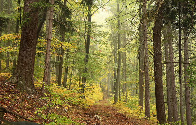
Overlook Trail is a 1/3-mile level grade trail where one can see an open oak habitat and beech maple forest while walking along north and middle ravine ridges. See overlooks of the floodplain from an east facing river bluff. Look for little bluestem grass, spring beauties, barred owls, and Pennsylvania sedge.
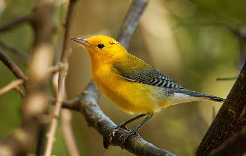
Confluence Spur Trail is 1/5-mile walk with some hills. Descend into the south ravine at the far end of the preserve, and travel upstream through floodplain habitat. Notice the groundwater that seeps to a confluence of two streams. Look for yellow birches, hemlocks, marsh marigold, and Blackburnian warblers.
Sarett Nature Preserve
2300 Benton Center Road • Benton Harbor, MI 49022
This unique nature center has eight (8) miles of trails meandering through its 1,000 acres. The trail system includes boardwalks, observation platforms, and an easily accessible barrier-free walkway. You can get an up-close look at wetland wildlife and habitats including wet forests, cattail marshes, shrub carrs, and even a unique alkaline wetland called a fen. The best part is that you can see it all without even getting your feet wet! Birding is popular at Sarett. Their checklist contains over 300 species; they also offer birding classes and other day-long adventures.


